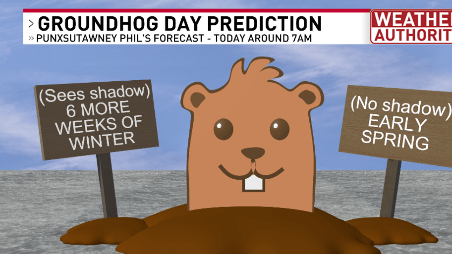
SYRACUSE, N.Y. — It’s Groundhog Day, which means Punxsutawney Phil has made his prediction for the weather the rest of this season. Will it be an early spring or more winter? Phil saw his shadow and retreated back into his hole, meaning 6 more weeks of winter!
How accurate are Phil’s forecasts? Well, I did some digging and it turns out he isn’t the best forecaster. Looking at the past 5 years, he got last year’s forecast spot on but not so much the years prior, 2020 he also was correct. Over the past 20 years, he’s only been correct 35% of the time. Since record keeping began in 1887, of the past 137 forecasts, Phil has seen his shadow 107 times.
As for the real weather forecast, here’s a look at our current weather system setup across the Northeast as of this Sunday morning. Widespread snow is on the way for Sunday afternoon into Sunday night.
Behind this weather system, we will get a big push of warm air. Notice the temperatures Sunday morning across the Northeast range from the single digits in CNY to the 40s further southwest. This warm front will cause temperatures to rise overnight.
It will stay rather chilly today, with temperatures in the single digits this morning, to 20s at the warmest this afternoon, but continuing to rise into the 30s overnight. Plus, we will have increasing clouds this morning, cloudy midday, then snow this afternoon. It’ll also be breezy with a south wind around 10-20 mph.
With a light breeze, it will make it feel a lot colder than the actual temperatures. Sunday morning wind chill will be in the negatives, the warmest it will feel this afternoon is the teens.
As this next weather system moves in, widespread snow develops during the afternoon, evening, ending later tonight. Here’s the timing with our Futurecast:
Here’s how much snowfall is expected from 3pm Sunday through 5am Monday:
Zooming in on the snowfall map to see local towns and villages:
Here’s the latest forecast video with a look at the 7-day forecast: